Transit Walksheds and Modal Share
data
map
R
transit
Calculating the population living near rapid transit and how well they use it
Introduction
Inspired by some cool visualizations of transit walksheds in Montreal (2011) and Vancouver (2016), I wanted to create some interactive maps showcasing walksheds and modal share near SkyTrain stations in Metro Vancouver using data from the 2021 Canadian Census.
Methodology
A walkshed is the area around a point that people can walk to within a defined period of time. With regards to transit, it is desired to concentrate population growth within the walksheds of rapid transit stations. These locations increase access to other areas connected by the transit network, making transit a more competitive alternative to driving.
The exact distance that is walkable in a given time limit depends on many geometric considerations: existing sidewalks, crosswalks, possible inclines, etc. One simplification is to look at the area within a circle around a point of interest; a radius of 800 metres being commonly used as a 10-minute walkshed.
Transit data for Metro Vancouver can be extracted from TransLink’s GTFS feed, giving us locations for all the SkyTrain stations. Note that while Capstan station is being included in this analysis, it along with several adjacent housing developments opened a few years after the 2021 Census.
While the census has population data broken down to the level of Dissemination Block (DB), not every DB is fully within the approximated station walksheds (800m buffers around each station):
All Dissemination Blocks near SkyTrain stations
For simplicity, only DBs which overlap ≥50% with a station buffer are kept.1
Dissemination Blocks included in analysis
Afterwards, the DBs in each buffer can be combined by summing their populations.
Walkshed Populations
With the calculations out of the way, the walkshed population for each station can be visualized as a circle whose area is proportional to the total population. For reference, the walkshed populations for the entire Fast and Frequent Transit Network are also shown. This includes the SkyTrain as well as Metro Vancouver’s BRT-lite bus routes: the 99 B-Line and six RapidBus lines. The SeaBus terminals are not shown separately, as both are already included via their shared locations with SkyTrain and RapidBus stations.
Note
Population in 1000 people.
Note
Population in 1000 people.
The dominance of Downtown Vancouver is reaffirmed by its large station walksheds, with Yaletown–Roundhouse topping the list—over 40,000 residents live within a 10-minute walk. Across the rail network, few other stations come close, with only Metrotown, Joyce–Collingwood, and Richmond–Brighouse truly standing out. Unsurprisingly to many locals, a notable absence of dense housing surrounds East Vancouver stations, situated between Downtown and growing hubs in Burnaby including Metrotown and Brentwood.
Among the three SkyTrain lines, the Expo Line clearly leads in total walkshed population, thanks to several population centres growing along its route. The Millennium Line, by contrast, has much smaller walksheds—particularly through its central segment. Its alignment along Lougheed Highway and adjacency to industrial lands restrict opportunities for nearby housing. The Canada Line stations, too, have room to grow before they come close to the Expo Line.
When the analysis is expanded to include BRT-lite lines, the 99 B-Line’s Central Broadway emerges as the most promising corridor. This is also where the Millennium Line extension is currently under construction, terminating at Arbutus Street. Beyond that point, as the 99 B-Line continues toward UBC, walkshed populations decline sharply. Transit-oriented development (TOD) at future stations—particularly the large-scale Jericho Lands redevelopment—promises to address the corridor’s low-density gaps.
The RapidBus network shows a mixed picture. Hastings St in Vancouver and Burnaby, along with Scott Road and 104 Avenue in Surrey, stand out as strong performers. In contrast, the Marine–Main corridor in North Vancouver and Lougheed Highway in the eastern suburbs register significantly lower population coverage. West 41st Avenue in Vancouver—like the western stretch of Broadway—suffers from low densities in the West Side.
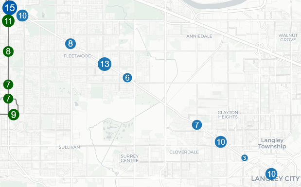
Lastly, Fraser Highway—though currently lacking a RapidBus route—is the focus of major transit investment, with the Expo Line set to extend all the way to Langley City. Today, its station walksheds trail behind other South-of-Fraser corridors in terms of population coverage. While the arrival of SkyTrain presents clear opportunities for growth, much of the surrounding area is constrained by protected agricultural land, limiting large-scale redevelopment.